
Traveling with multiple generations of your family members can create unforgettable memories and cultivate deeper bonds with one another. A perfect destination to embark on a multigenerational adventure is Edisto Beach, South Carolina. With its picturesque scenery, welcoming community, and array of activities for all ages, Edisto offers an ideal setting for a memorable vacation with your family, no matter size or individual interests.

Embrace Nature’s Beauty
Edisto is renowned for its stunning natural beauty. From pristine beaches to lush marshlands, the island provides a scenic backdrop for multigenerational travelers to lose themselves in the wonders of nature.

The younger generations can partake in building sandcastles, exploring tide pools, and playing beach games, while the older folks soak up the sun and enjoy leisurely walks along the shoreline. The family can also go kayaking or canoeing through the winding creeks and discover hidden treasures amidst the serenity of the marshes.
 .
. .
.
If the kiddos like critters, be sure to stop by the Edisto Serpentarium where they can get up close and personal to native, and not so native, creatures. .

Delve into History and Culture
Edisto Island has a rich history that can captivate and educate travelers of all ages. Visit the Edisto Island Historic Preservation Museum to gain insights into the island’s past and learn about its African American heritage.

Take a guided tour of the preserved plantation houses, such as the famous Botany Bay Plantation Heritage Preserve and Wildlife Management Area. These excursions offer a chance to engage in meaningful conversations with members of the family, as they reminisce about their own experiences and share family stories.

Enjoy Outdoor Activities
Engaging in various outdoor activities is another highlight of multigenerational travel to Edisto. The island offers ample opportunities for fishing, crabbing, and shrimping – all of which can be enjoyed as a family.
 .
.

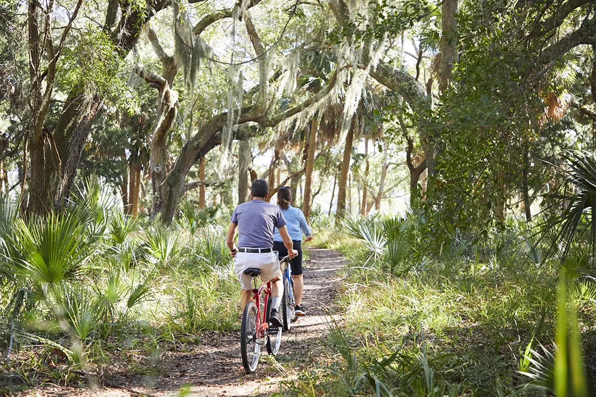
Rent bicycles and explore the island’s scenic bike trails, stopping along the way to enjoy a picnic. Golf enthusiasts can hit the links at the Plantation Course in Wyndham Ocean Ridge, while those seeking adventures on the water, rent a kayak or SUP and paddle your way through the island’s creeks.
 .
. .
.
Enjoy Local Cuisine and Shopping
Food has a magical way of bringing people together, and Edisto’s culinary scene is sure to please every member of your multigenerational family. Relish freshly caught seafood and locally sourced ingredients at one of the island’s charming restaurants. Plan to visit Whaley’s, Ella & Ollie’s, The Sea Cow and others. Click here for restaurants.

Or if you are a chef, or “wannabe” chef, hit King’s Market or Pink and Georges to gather your own fresh ingredients for a home cooked meal at your rental house. Cooking together always makes for wonderful memories.

Once you have had enough sunshine for the day, check out some of the local shops and art galleries on the beach and island. With These Hands is a great place to start. There’s also Revel, The Edistonian, Sabal & Oak and more. Click here for shops.

Take Time to Relax and Connect
One of the biggest advantages of multigenerational travel is the opportunity to reconnect and spend quality time with your loved ones. To truly embrace this, consider renting a spacious vacation home or beachfront cottage in Edisto. Here are some options.

These accommodations offer a home-away-from-home experience, providing an intimate setting for shared meals, games, and conversations that can strengthen family bonds. Unplug from technology and break out the puzzles and board games. Or simply revel in the beauty of your surroundings with a sunset beach walk or a cozy evening under the starlit sky!

Edisto Beach, SC, is more than just a beautiful vacation destination; it is a place that allows families to come together and create lifelong memories. Whether you’re exploring the island’s natural wonders, immersing yourself in its rich history, partaking in outdoor activities, savoring the local cuisine, or simply enjoying quality time together, Edisto provides the perfect backdrop for multigenerational travel. Embrace the opportunity to bond with your loved ones and embark on a journey that will be cherished for years to come.


 .
.


 .
.


