- Home
- /
- Artificial Reefs
Artificial Reefs in South Carolina Lowcountry
There are 45 man-made fishing reefs off the coast of South Carolina. 12 artificial reefs are near the coast of the South Carolina Lowcountry Region. These reef sites are constructed from a variety of durable materials including specially designed concrete and steel structures, ships and tugboats, barges, and even army tanks and subway cars. When durable materials such as these are placed in the marine environment their surfaces are rapidly colonized, and eventually completely covered, by a wide variety of sessile organisms including algae, barnacles, corals, sponges, hydroids, bryozoans, and marine worms. In time, these organisms become the foundation of the reef community and the base of the food web which is critical to later fishing success.
Beaufort Area
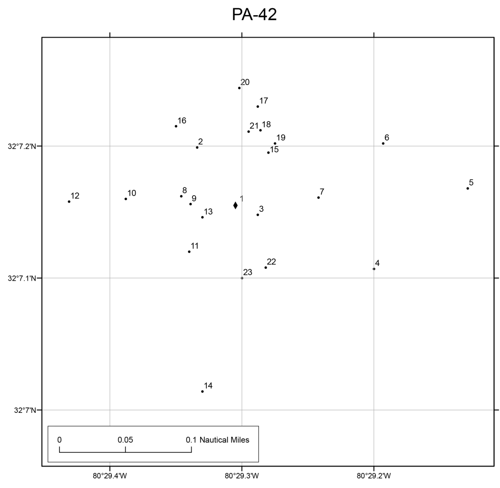
Beaufort 45′ Reef (PA-42)
Reef Buoy Coordinates | Lat. 32 07.155’N Long. 080 29.305’W
Concrete reef balls, army tanks, and other man-made structures provide high-profile habitats.
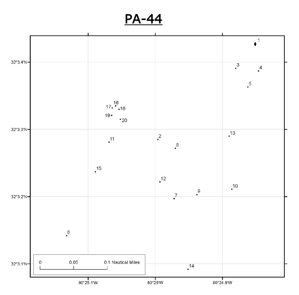
Betsy Ross Reef (PA-44)
Reef Buoy Coordinates | Lat. 32 03.427‘N Long. 080 24.851‘W
Betsy Ross Reef is located 18 miles off Hilton Head Island. 440′ long liberty ship is the largest single piece of material on any of South Carolina’s artificial reefs. 85’ of water. Trolling & bottom fishing habitat. Many species of fish hang out here, including Red snapper, black sea bass, grouper, barracuda, king mackerel, and Spanish mackerel.
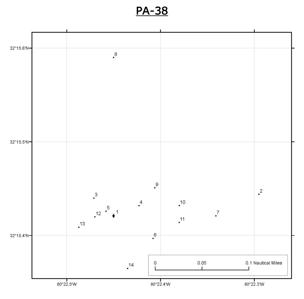
Fripp Island Reef (PA-38)
Reef Buoy Coordinates | Lat. 32 15.421‘N Long. 080 22.450‘W
20x80x20 foot structure. Sea bass, sheepshead & bluefish are abundant around the wreck.
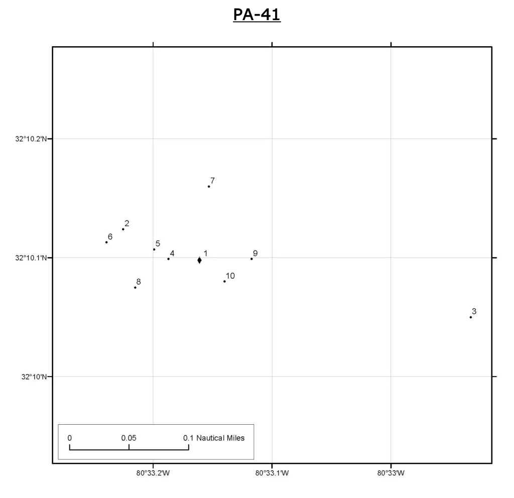
General Gordon Reef (PA-41)
Reef Buoy Coordinates | Lat. 32 10.098‘N Long. 080 33.161‘W
2.0 miles due east of R14 in Port Royal Sound at a 250’ steel-hulled sailing vessel.
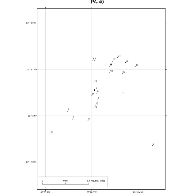
Hunting Island Reef (6HI) (PA-40)
Reef Buoy Coordinates | Lat. 32 13.055‘N Long. 080 20.494‘W
10 miles southeast of Hunting Island. Barges, dredge tender, landing craft & approx. 30,000 tires.
Hunting Island State Park Fishing Pier Reef (PA-39)
Reef Buoy Coordinates | Unmarked
125 concrete cones, arranged in 25 clusters of 5 cones each.

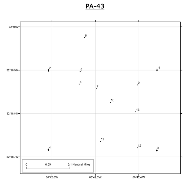
Parris Island Reef (PA-43)
Reef Buoy Coordinates | Lat. 32 18.900‘N Long. 080 42.358‘W
ttttttttttttttttttttttttttttttttttLat. 32 18.900‘N Long. 080 42.608‘W
ttttttttttttttttttttttttttttttttttLat. 32 18.716‘N Long. 080 42.358‘W
ttttttttttttttttttttttttttttttttttLat. 32 18.717‘N Long. 080 42.608‘W
Four buoys mark this reef. Consists of barges, a landing craft, concert rubble, and Broad River Bridge rubble.
Edisto Beach
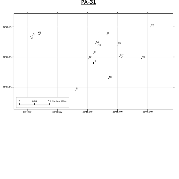
CCA-Edisto 40′ Reef (PA-31)
Reef Buoy Coordinates | Lat. 32 25.280‘N Long. 080 11.780‘W
Habitat consists of Army APC’s, concrete rubble, 200 concrete reef balls, bridge rubble, a crane, and barges.
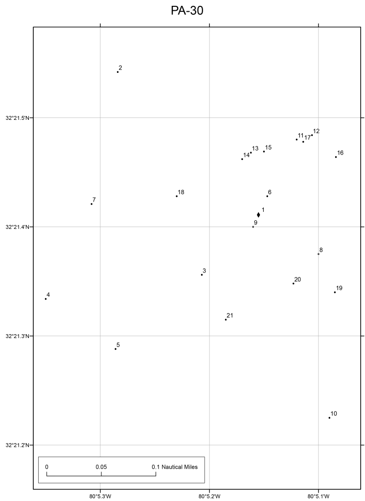
Edisto 60′ Reef (PA-30)
Reef Buoy Coordinates | Lat. 32 21.411‘N Long. 080 05.155‘W
Habitat consists of ships, bridge sections, shipping containers, Army APC’s, steel, and concrete culvert pipes.
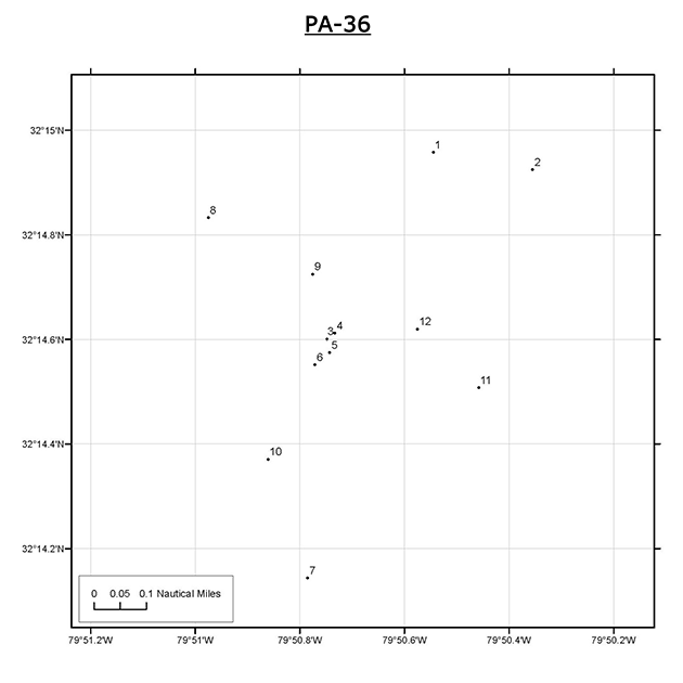
Edisto Offshore Reef (PA-36)
Reef Buoy Coordinates | Unmarked
23.5 miles from Stono Inlet. Originated as a mid-water trolling alley in 1980. The 1-mile square reef is the farthest offshore in the South Carolina system. King & Spanish mackerels, barracuda, amberjack & dolphin can be found in the 50-72′ waters.
Hilton Head Island
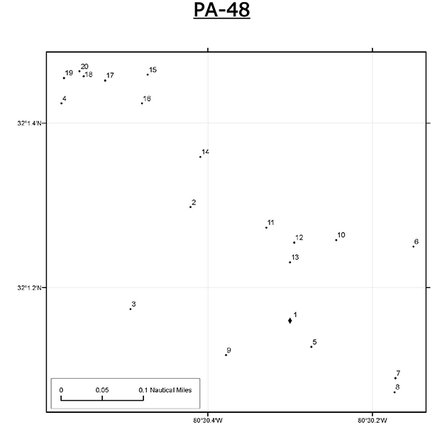
Eagle’s Nest Reef (PA-48)
Reef Buoy Coordinates | Lat. 32 01.160‘N Long. 080 30.300‘W
Tugboat, barge, cement truck, tires, concrete blocks.
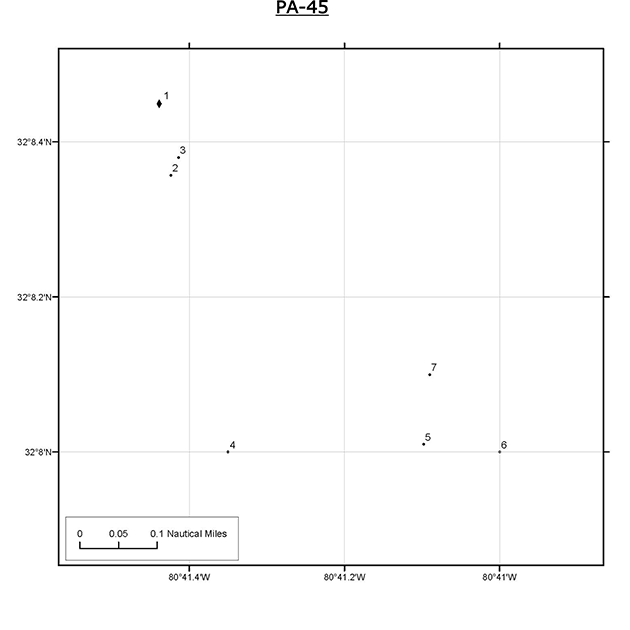
Fish America Reef (PA-45)
Reef Buoy Coordinates | Lat. 32 08.449‘N Long. 080 41.439‘W
2.5 miles east of Hilton Head Island. Consists entirely of heavy pieces of concrete culvert pipe in 9’ of water. Mackerels, bluefish & sea trout.
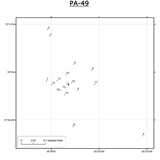
Hilton Head Reef (PA-49)
Reef Buoy Coordinates | Lat. 31 59.948‘N Long. 080 35.928‘W
1.5 miles off Hilton Head. 1,800′ reef in 50’ of water. Black sea bass, porgy, grouper, sheepshead, amberjack, barracuda, mackerel & cobia.
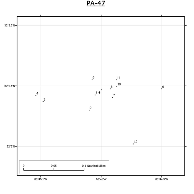
White Water Reef (PA-47)
Reef Buoy Coordinates | Lat. 32 03.089‘N Long. 080 45.003‘W
Multiple barges and miscellaneous materials. Trolling for Spanish mackerel productive.
