

Edisto Island is widely known for its unspoiled beaches and yesteryear way of life. Did you know it’s also a great place to hike? The flat ground and moderate winters make it a great location for a short stroll or a day-long hike.

Photo credit:Brooke Sheree
Botany Bay Plantation Heritage Preserve/Wildlife Management Area is managed by the South Carolina Department of Natural Resources. Botany Bay has over 4,600 acres of maritime forest, beach, freshwater ponds, and historical buildings to explore. This land was once two cotton plantations: Sea Cloud and Bleak Hall plantations. Once combined they formed one of the largest long staple cotton plantations on the east coast.

Now you can drive, hike, bike, kayak or ride horses on this property. Be sure to pick up a day pass and MAP at the kiosk. The staff is very helpful and knowledgeable. They will point you in the right direction for your chosen excursion. The map is useful for the driving tour. All historical locations are pointed out and explained in detail. The trails are also marked for exploration. There are many places to park while you explore each site.

The Boneyard Beach walk is particularly interesting because the shore is loaded with weather-worn trees and seashells. While you can pick them up to examine them, be sure to leave anything you find behind. Seashell and shark tooth removal is strictly forbidden.

Using the map as a guide, locate any of the secondary lanes and fire breaks. Park well off the road and start exploring. The trails behind the icehouse are exceptionally nice, as well as the Westcoat Road trails. Botany Bay is open from one half hour before sunrise to one half hour after sunset. It is closed Tuesdays and for scheduled hunts. For closing dates check their WEBSITE.
The plantation is located off Highway 174 on Botany Bay Road. Follow signage along Botany Bay Road to the park.

Just down the road on Highway 174 you’ll find Edisto Beach State Park. This beach-front park has several trails for hiking and biking. While the trails are shorter in distance, they can be combined for a longer 4.2-mile hike. These trails are well maintained and easy to follow. Use this MAP to plan your route. Benches are placed along the trails for rest and relaxation. They are also bike friendly.
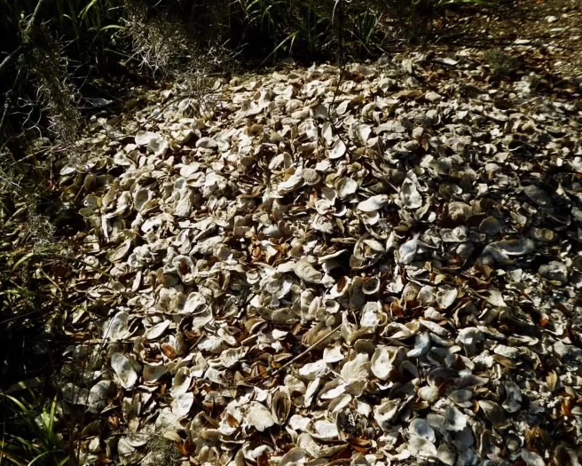
The trails are marked with information along the paths. Explore historic monuments and a Native American shell mound while you travel through the maritime forest and beach areas of the park. Bring the camera to capture shore birds and the beautiful scenery.

Don’t forget to dress appropriately and bring a supply of water and bug spray. A camera is also a good idea. For more information on other hiking trails in the Lowcountry visit https://southcarolinalowcountry.com/wildlife-preserves-and-nature-trails/ .


