
Looking to rekindle the flames of romance and create unforgettable memories with your significant other? Look no further than Beaufort, South Carolina – a charming coastal town known for its historic charm, breathtaking scenery, and Southern hospitality. A weekend getaway to Beaufort promises a perfect blend of relaxation, adventure, and romance that will inspire you both!

Wander Through Historic Districts
Whether you are history buffs or not, Beaufort’s historic districts exudes a timeless charm that sets the perfect backdrop for a romantic stroll. Walk hand-in-hand down shady oak-lined streets, taking in the picturesque antebellum homes, historic churches, and quaint storefronts. Stop to admire the intricate ironwork on the balconies and soak in the rich history of this charming town together.

Explore the Waterfront
Beaufort’s waterfront location offers a stunning setting for romantic moments with your special person. Take a leisurely walk along the Waterfront Park, where you can enjoy views of the boats gently bobbing in the harbor and the gentle breeze coming off the water. Grab a coffee or some ice cream at the local shops. Check out all the terrific specialty shops along Bay Street and the surrounding area. Here are some ideas.

Indulge in Lowcountry Cuisine
What is a romantic getaway without food? Beaufort is a haven for food lovers, especially those craving the authentic flavors of Lowcountry cuisine. Treat your taste buds to a culinary adventure by sampling fresh seafood, traditional Southern dishes, and local specialties at one of the town’s charming eateries. From shrimp and grits to she-crab soup, Beaufort’s dining scene is sure to delight your senses and create a memorable dining experience for you and your partner. Find your options here.

Water Water Everywhere
For a more laid-back and tranquil experience, head to Beaufort’s nearby beach at Hunting Island State Park for a day of rejuvenation. Pack a picnic and settle down on the soft sand, listening to the crashing waves and feeling the warmth of the sun on your skin.

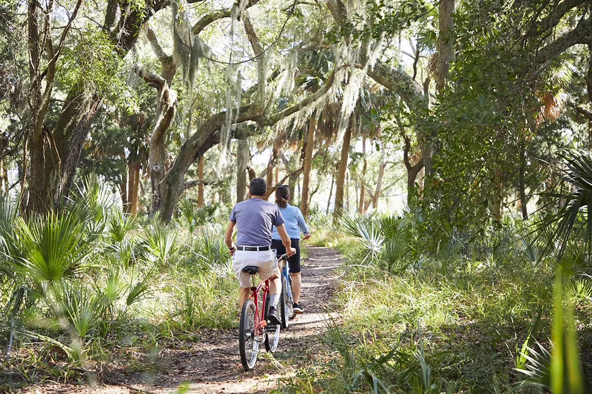
One of the most beautiful ways to see Beaufort is by water. Consider booking a sunset, dolphin or history boat tour with groups like Coastal Expeditions South. There are other outfitters like Beaufort Kayak Tours for guided tours or kayak & SUP rentals. See more here.

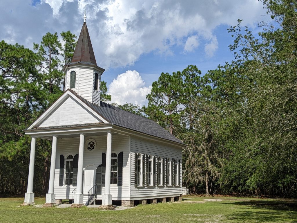
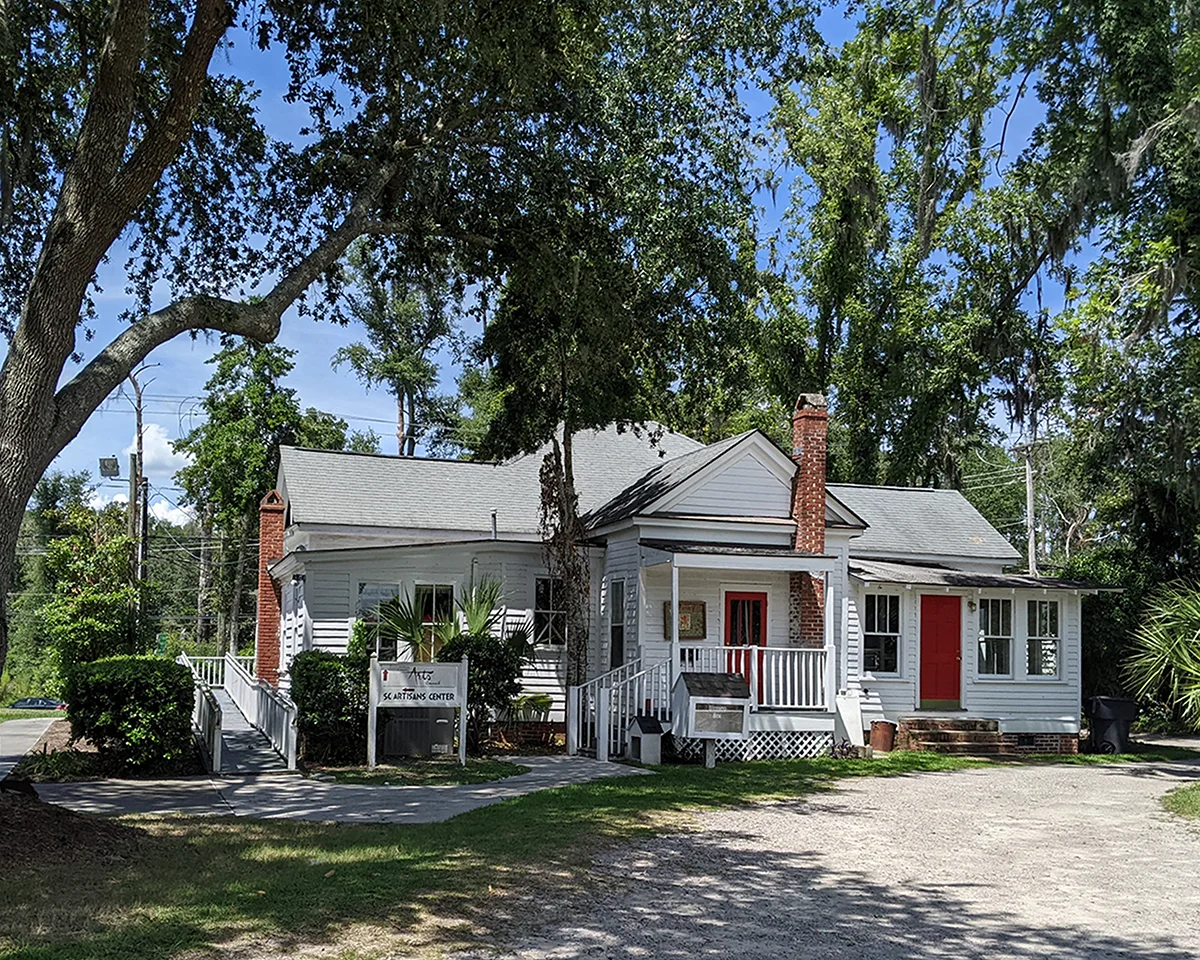
Discover Hidden Gems
Beaufort is home to numerous hidden gems waiting to be explored by couples seeking adventure and discovery. Visit the historic Penn Center, one of the first schools for freed slaves, and immerse yourselves in the stories of resilience and empowerment. Explore the amazing Cypress Wetlands Rookery and Trails in Port Royal or the Pat Conroy Literary Center. Other Sights To See here.

Stay in a Charming Bed and Breakfast
Enhance the romance of your weekend getaway by staying in a charming bed and breakfast in Beaufort. Choose from historic homes converted into intimate accommodations, offering personalized service, cozy rooms, and a warm, welcoming atmosphere. Wake up to a delicious homemade breakfast served with a side of Southern hospitality, setting the tone for another day of romance in this enchanting town. Check out the Anchorage or the Beaufort Inn for special stays.

There are also a number of wonderful hotels, gorgeous inns, delightful vacation rentals, luxury resorts, and charming campgrounds. The choice is yours, but you can’t go wrong with whichever accommodation you pick. Take a look.

As you can tell, Beaufort, SC, and the surrounding area, is a perfect setting for a romantic weekend getaway. Whether you’re wandering through historic districts, exploring the waterfront, indulging in delicious Lowcountry cuisine, relaxing on the beach, or staying in an alluring accommodation option, Beaufort promises an unforgettable experience filled with love, adventure, and romance. Escape the hustle and bustle of daily life and immerse yourselves in the magic of the Lowcountry, where every moment together will become a cherished memory!


